Using AllInMap to Plan Your Perfect Travel Route
A great travel day doesn’t happen by accident. It happens when you know where you’re going, what’s along the way, and where you can rest, hydrate, and recharge. AllInMap helps you plan walking routes through cities with comfort stops built in.
Why Amenity-Aware Route Planning Matters
Traditional route planning focuses on getting from A to B. But for travelers exploring a city on foot, the journey matters as much as the destination. A 5-kilometer walk through a city is much more enjoyable when you know:
- Where you can sit down when your feet hurt
- Where to refill your water bottle instead of buying drinks
- Where the nearest restroom is along your route
- Where to find scenic viewpoints worth a detour
- Where to find outdoor fitness spots for a quick morning workout
AllInMap gives you all this information on a single map, letting you plan routes that are not just efficient but comfortable.
Step-by-Step: Planning Your Day with AllInMap
Step 1: Scout Your Destination
Before heading out, open AllInMap and navigate to the area you’ll be exploring. Zoom in to see all the amenity markers in the neighborhood.
Enable all categories to get a full picture:
- Benches — Rest spots
- Public Toilets — Restroom locations
- Drinking Fountains — Free water refill points
- Bins — Trash disposal
- Panoramic Places — Scenic viewpoints
- Skateparks — Skate spots
- Outdoor Gyms — Free fitness equipment
- Basketball Courts — Public courts
- Soccer Fields — Football pitches
- ATMs — Cash machines
Step 2: Identify Key Amenity Clusters
Look for areas where multiple amenities are close together. A spot with a bench, a fountain, and a toilet nearby is an ideal rest stop. AllInMap’s color-coded icons make it easy to spot these clusters at a glance.
Step 3: Save Strategic Favorites
Tap on markers that look promising and check their ratings and photos. If a bench has 4+ stars and sits near a fountain, favorite it. Build a chain of favorited rest stops along your planned walking route.
Step 4: Explore Public Maps
Check AllInMap’s Public Maps section for your destination. Other travelers may have created curated maps like:
- “Best viewpoints in Lisbon”
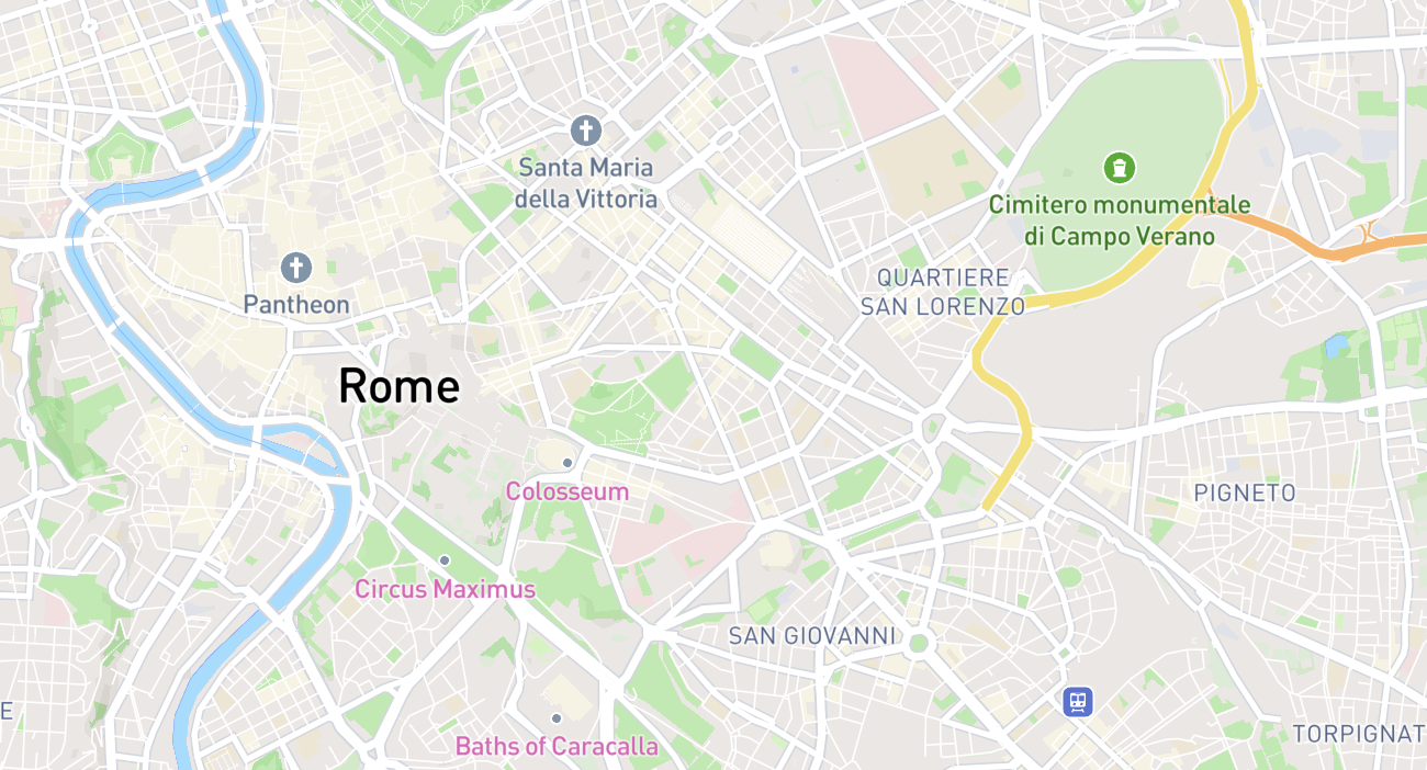
- “Free water fountains in Rome”
- “Rest spots along Barcelona’s waterfront”
These community-created maps can shortcut hours of research.
Step 5: Download for Offline Use
Once you’ve scouted the area and saved your favorites, download the offline map. This ensures all markers, ratings, and photos are available even without internet.
To create an offline map:
- Navigate to the area on the map
- Tap the offline maps option
- Name your map (e.g., “Day 1 - Old Town Walk”)
- Select the area to download
- Tap “Create Offline Map”
Step 6: Head Out and Explore
With your offline map loaded and favorites saved, you’re ready to explore. As you walk:
- Check your position on the map using GPS (works offline)
- Filter by category when you need something specific
- Tap markers to view details, ratings, and photos
- Navigate to the nearest amenity when needed
Custom Maps for Trip Planning
AllInMap’s Custom Maps feature is a powerful trip planning tool. Here’s how to use it:
Create a Trip Map
- Create a new custom map named after your trip (e.g., “Berlin Weekend March 2026”)
- Define custom pin types for your trip:
- “Must Visit” (red pin)
- “Restaurant” (orange pin)
- “Rest Stop” (green pin)
- “Photo Spot” (blue pin)
- Add custom properties like “Visited” (boolean) or “Priority” (1-5 number)
- As you research your trip, add pins for places you want to visit
Collaborative Trip Planning
Traveling with friends? Make your map collaborative:
- Share the map with your travel companions
- Everyone can add their own pins
- Use the map as your shared itinerary
- See each other’s suggestions with their respective custom pin types
Share with QR Code
At the hostel or meetup, share your curated map instantly via QR code. The other person scans it and gets immediate access to all your mapped spots.
Building a Comfortable Walking Route
Here’s a practical framework for planning a day of city exploration:
The 45-Minute Rule
Plan a rest stop roughly every 45 minutes of walking. Use AllInMap to identify benches or panoramic places along your route at regular intervals.
The Hydration Check
Every 2-3 rest stops, ensure there’s a drinking fountain nearby. Mark these on your favorites so you remember to refill.
The Restroom Buffer
Identify toilet locations spread across your route. Even if you don’t need them, knowing they’re there reduces anxiety and lets you drink water freely.
The Scenic Bonus
Route your walk past panoramic places whenever possible. A viewpoint bench beats a random street bench every time — and the photos are better too.
Real-World Example: A Day in a European City
Here’s how a planned day might look using AllInMap:
Morning:
- Start at your accommodation
- Walk to the first attraction, with a favorited drinking fountain nearby for a water refill
- Check the map for the nearest restroom before entering a museum
Midday:
- Find a bench with a view for a picnic lunch using the Panoramic Places filter
- Confirm there’s a bin nearby for cleanup
- Locate a fountain to refill before the afternoon walk
Afternoon:
- Walk to afternoon attractions with regular bench stops
- Use the ATM filter if you need cash for street food or markets
- Visit a public outdoor gym for a quick workout
Evening:
- Find a panoramic spot for sunset photos
- Head back using the map’s offline mode to navigate
After Your Trip: Give Back
Once you’re back online and well-rested:
- Add markers for amenities you found that weren’t on the map
- Rate and review places you visited — your ratings help future travelers
- Upload photos showing the current condition of amenities
- Make your custom trip map public if you think others would benefit from it
- Earn points and climb the leaderboard for your contributions
The Bottom Line
AllInMap doesn’t replace your navigation app or your travel guide — it complements them. By adding an amenity layer to your trip planning, you ensure that every walking day is comfortable, well-hydrated, and stress-free. The combination of community-rated amenities, custom maps, offline support, and social sharing makes it the ideal planning companion for any traveler who explores cities on foot.
Plan smart. Walk comfortable. Explore more.